PETERSONS CREEK WALK
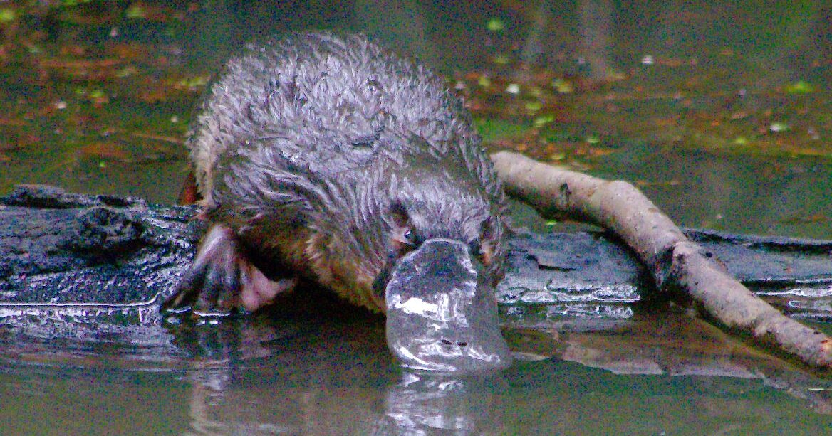
Petersons Creek forms the western boundary of Yungaburra where it crosses beneath the Gillies Highway bridge. There is a Platypus viewing platform with a car park located at the Village side of the bridge.
The Walk commences from the West side of the Highway Bridge walkway, runs under the bridge and along the Creek Bank to Lloyd’s Suspension Bridge. Here it crosses back to the East Bank leaving various alternatives for return to the starting point.
PETERSONS CREEK MAP

ACCESS
The Walk can be muddy under foot in wet weather and minor flooding can occur during the wet season. Suitable foot wear is recommended. Insects or leaches are rarely a problem. The path is not wheelchair friendly although it is possible for a chair to enter the path from behind the safety barrier on the opposite side of the road from the normal entrance. This avoids stone steps and a slippery slope under the bridge and gives access to the first section of the path which is one of the best areas for seeing a platypus. After this there are narrow and sloping sections and the suspension bridge is too narrow for most wheelchairs. Dogs are permitted if on a lead.
To enter the Walk, cross the Highway Bridge on the pedestrian walkway and find the path at it’s western end. The path then runs beneath the bridge and along the creek bank for about 500 m. There is a barbed wire fence separating the path from the adjoining grazing land for most of this distance when it turns at right angles away from the path. Beyond this there are piles of volcanic rocks above the path providing habitat for Water Dragons and Skinks until the path reaches Lloyd’s Suspension Bridge. This crosses the creek back to Allumbah Pocket and Bunya Street on the Village side. It is this section of the Walk which is primarily dealt with in this blog.
Turn right along Bunya Street which is a no through road for vehicles but has a walkway at the far end for access to the highway and the Platypus Viewing car park. Alternatively go up the hill (Penda St) and return to the village along Cedar Street or Eacham Road at the top of the hill.
If you favour a longer option, the Walk continues along the creek bank to Frawley’s Pool and then through woodland to the old Railway Bridge. Here it turns sharp right to meet Eacham Rd which returns to the village or there are a couple of slightly longer return footpaths.

